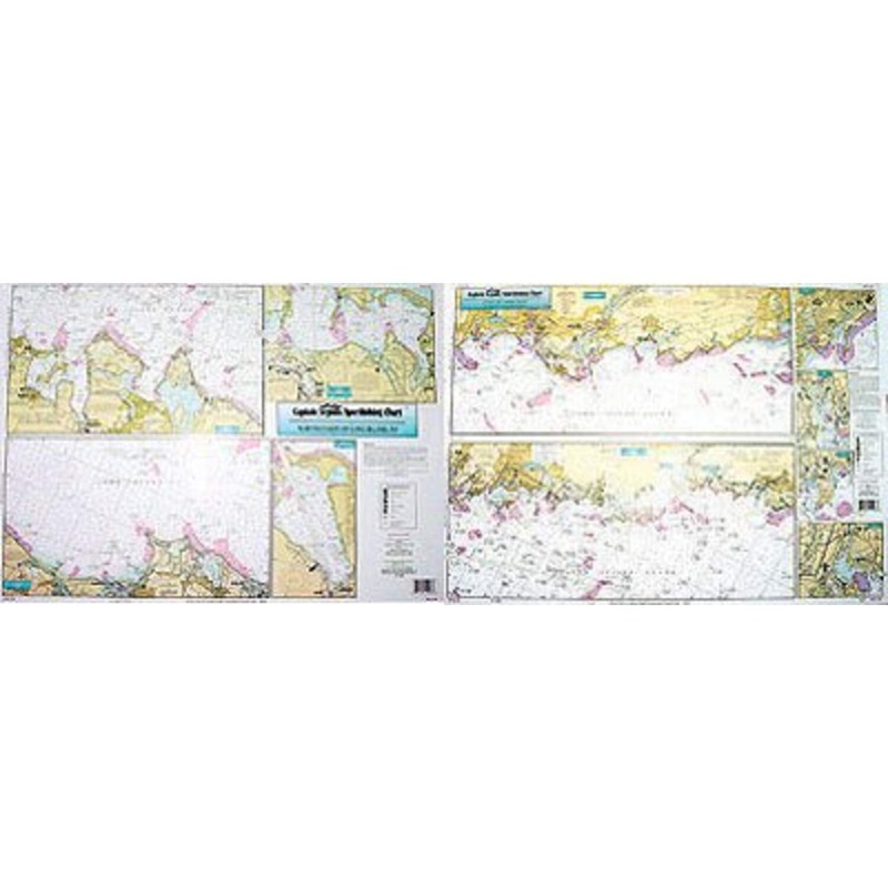
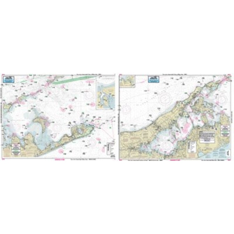
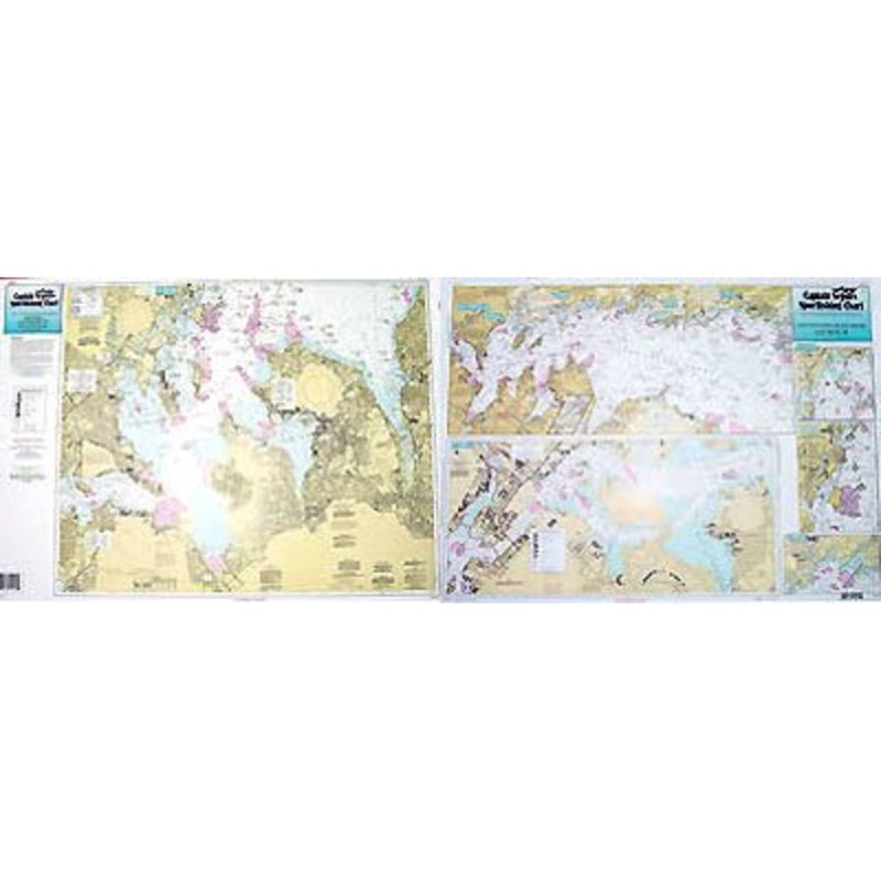
Captain Seagull's Coast of CT and North Shore of Long Island NY Inshore Nautical Chart is a an inshore chart 1-2 miles off the coast detailing the bays. Chart is 19 x 26 inches, double sided, and laminated. Detailing the bays, covers western half of coast
Captain Seagull’s Coast of CT and North Shore of Long Island NY Inshore Nautical Chart is a an inshore chart 1-2 miles off the coast detailing the bays. Chart is 19 x 26 inches, double sided, and laminated.
Detailing the bays, covers western half of coast of Connecticut. West Haven, CT to NY border; North Coast of Long Island, NY . All charts include GPS coordinates, wrecks, reefs, shoals, fishing areas, amenities and restrictions.
Captain Seagull’sCoast of CT and North Shore of Long Island NY Inshore Nautical Chart- Model # NLI106


Copyright © 2025 .All Rights Reserved.Powered by www.terminaltacklew.com
Reviews
There are no reviews yet.