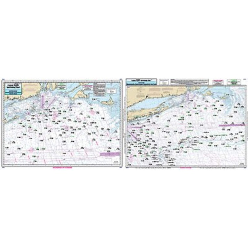
Captain Seagull's Offshore Canyon Chart MA, RI, CT, NY Offshore Nautical Chartis an offshore - 90 to 100 miles off coast, gouble sided, laminated, 19 x 26 inches. MA, RI, CT, & NY. Side A: from Nantucket Shoals to mid Long Island, NY south to cover all can
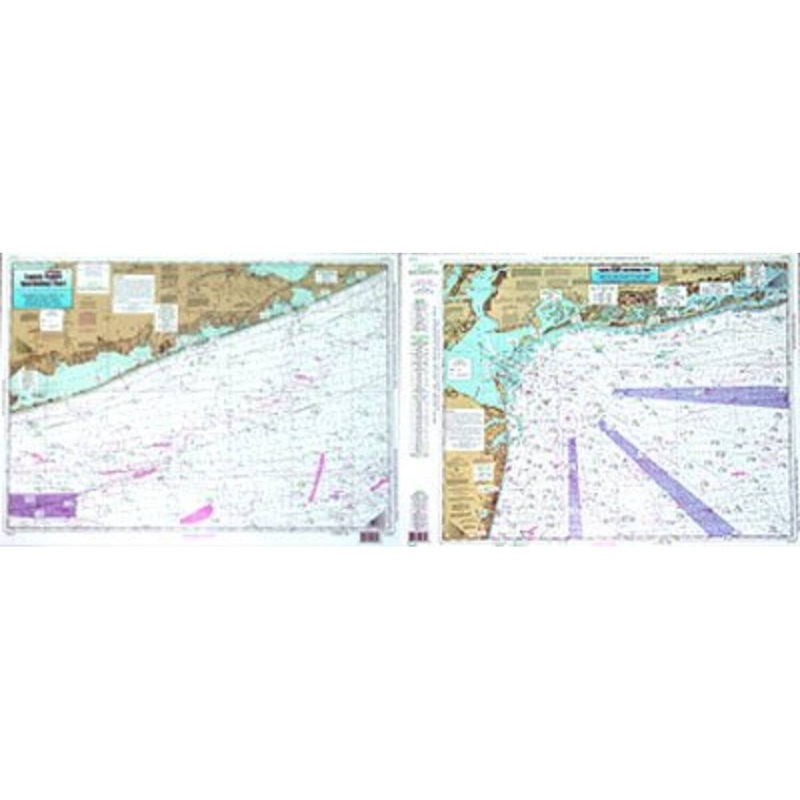
Captain Seagull’s Offshore Canyon Chart MA, RI, CT, NY Offshore Nautical Chartis an offshore – 90 to 100 miles off coast, gouble sided, laminated, 19 x 26 inches. MA, RI, CT, & NY.
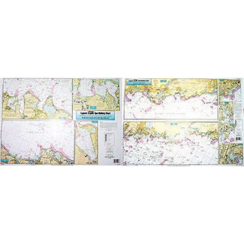
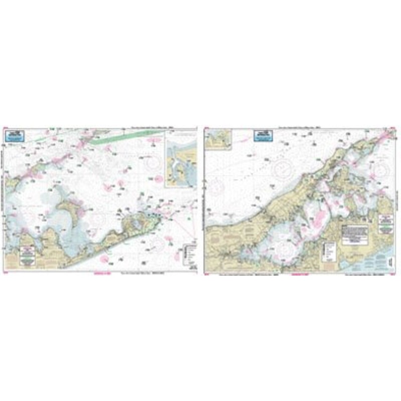
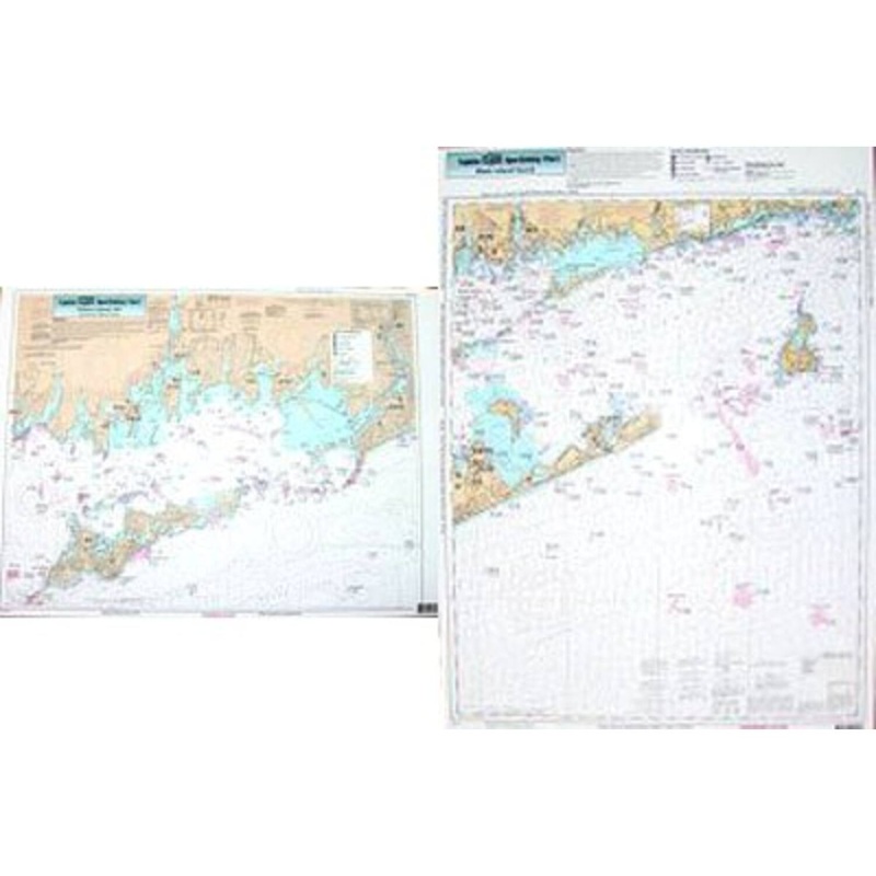
Side A: from Nantucket Shoals to mid Long Island, NY south to cover all canyons beginning with the Veatch Canyon to Hudson Canyon. Side B: a blow up of the very important fishing spots off Block Island Sound, including the Dump, The Finger’s Cox’s Ledge and many more. You don’t have to purchase both the OF10 and the OFGPS18 unless you are going south to New Jersey. Also refer to AT206, BKL207, CRM208. BNG20, MVN116, SCC103, BB14, PJ13, FIO10, FI105, LI15, SLI107, MP108, & NB104.
Captain Seagull’sOffshore Canyon Chart MA, RI, CT, NY Offshore Nautical Chart– Model # OF10
Copyright © 2025 .All Rights Reserved.Powered by www.terminaltacklew.com
Reviews
There are no reviews yet.