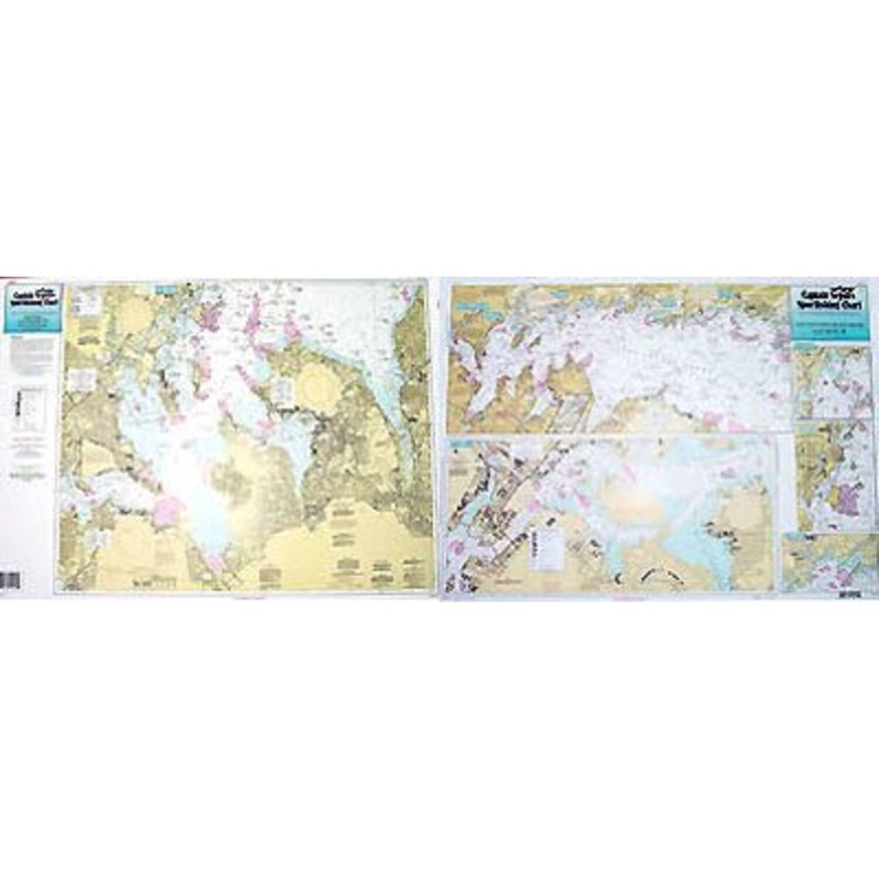
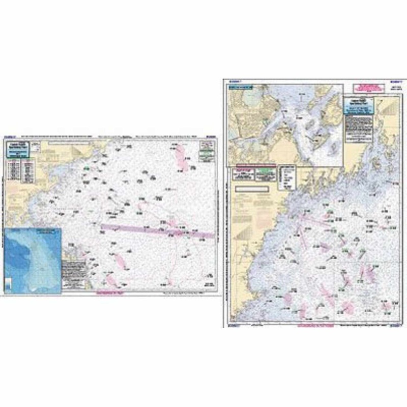
Captain Seagull's Western Long Island Sound NY Inshore Nautical Chart is a an inshore chart 1-2 miles off the coast detailing the bays. Chart is 19 x 26 inches, double sided, and laminated. New York. Detail of coast from Greenwich point, CT west to Rooseve
Captain Seagull’s Western Long Island Sound NY Inshore Nautical Chart is a an inshore chart 1-2 miles off the coast detailing the bays. Chart is 19 x 26 inches, double sided, and laminated. New York.
Detail of coast from Greenwich point, CT west to Roosevelt Is. All charts include GPS coordinates, wrecks, reefs, shoals, fishing areas, amenities and restrictions.
Captain Seagull’sWestern Long Island Sound NY Inshore Nautical Chart– Model # WLI115
Copyright © 2025 .All Rights Reserved.Powered by www.terminaltacklew.com
Reviews
There are no reviews yet.